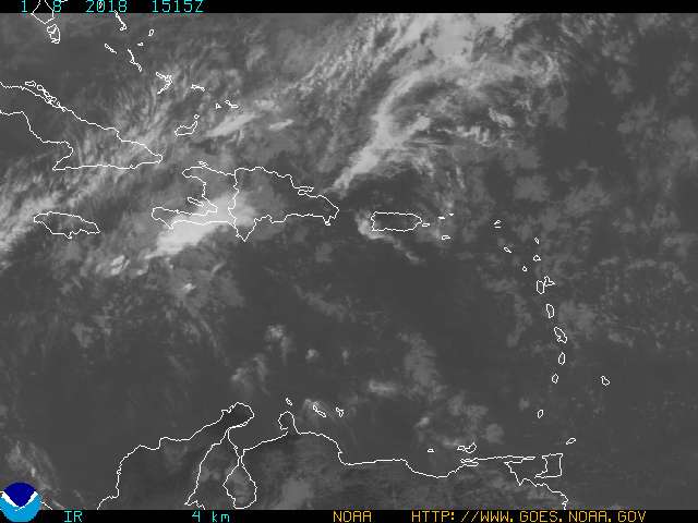
Satellite imagery of Earl: Notice the well developed eye!
As of 5pm, Hurricane Earl is located just to the northeast of Puerto Rico with sustained winds at 135 mph, making it a category 4 storm. The eye is becoming more developed as the day progresses and continued strengthening is not out of the question. The forecast track of this system is for it to make the turn to the north relatively soon. It DOES matter when this storm turns to the north. If Earl continues it's motion to the WNW at 15 mph for longer than the anticipated 24 hours, then we could be talking about a major hurricane hitting the Outer Banks of North Carolina. If it does this then the entire Northeast will be affected by this system with strong winds and storm surge to the north of the system. That again is worst case scenario. For now the general thinking is the trough of low pressure will dig down quickly and drag this system just off the East coast of the United States.
Here is the forecast track by the NHC:
![[Image of 5-day forecast and coastal areas under a warning or a watch]](http://www.nhc.noaa.gov/storm_graphics/AT07/refresh/AL0710W5_NL+gif/204613W5_NL_sm.gif)
Notice the cone of uncertainty still includes portions of the Outer Banks and the entire Northeast. Interests along these areas should be keeping a watchful eye on this system and make sure you have everything in your emergency kit prepared.
I think this system will just brush up against the Outer Banks and continue up the East coast providing tropical rain and strong winds for much of the Northeast.
Meteorologist David Reese